The short answer
What was the Silk Road, and why was it historically important?
The Silk Road was a changing web of land and sea trade routes linking East Asia, Central Asia, South Asia, the Middle East, and the Mediterranean over many centuries. Most goods moved through several hands rather than from China straight to Rome. Its importance lies in those repeated exchanges: merchants carried valuable materials, while pilgrims, envoys, craftspeople, and migrants carried languages, religions, artistic styles, and practical knowledge.
What we found
- “Silk Road” describes overlapping routes, not a single ancient highway; the name itself was coined in the nineteenth century.
- Oasis towns such as Turpan, Kucha, Kashgar, Merv, and Samarkand mattered because they supplied water, markets, storage, repair work, and local knowledge.
- Sogdian merchant communities were especially influential in Central Asian and Chinese trade between late antiquity and the Tang period.
- Silk was prized because it was light, durable, visually striking, and valuable enough to serve as a gift, payment, and portable store of wealth.
- Religions, artistic motifs, crops, and techniques moved through many small contacts; cultural exchange was rarely a simple one-way transfer.
- The networks changed with climate, empires, taxes, warfare, and seaborne shipping. They did not suddenly “end.”
Picture a merchant leaving Chang’an, the Tang dynasty capital in what is now Xi’an. The trip west did not mean following a marked road all the way to the Mediterranean. It meant entering a chain of corridors, mountain passes, desert-edge tracks, river crossings, ports, and market towns. At each stage, different people knew the terrain, set the terms, supplied animals, translated languages, and took their share of the profit. That is the Silk Road at human scale.
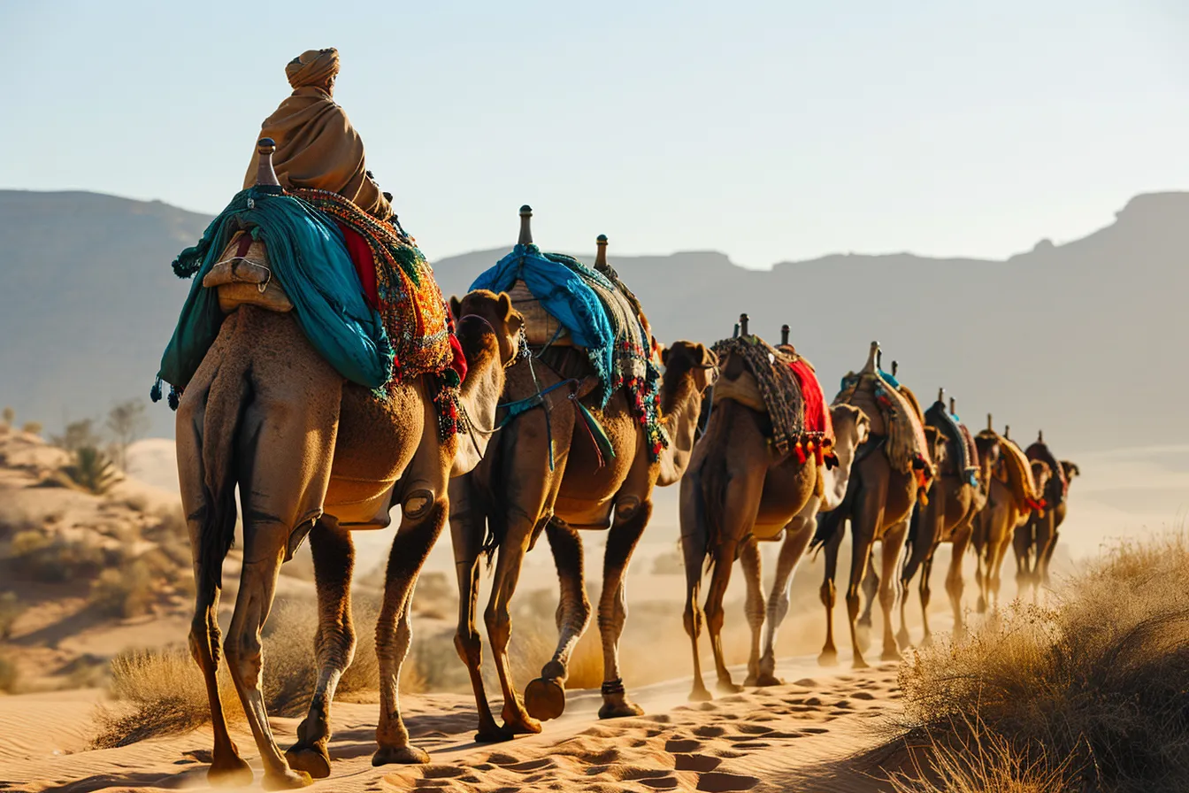
The familiar image of a camel caravan is real but incomplete. Camels crossed dry country, yet ships rode seasonal monsoon winds across the Indian Ocean; horses linked steppe communities; and donkeys, mules, oxen, and people on foot handled shorter legs. Exchange also took place at borders, religious centers, diplomatic courts, workshops, and family homes. A silk cloth found far from its loom is evidence of a journey, but not necessarily of one traveler making the whole journey.
The story is best understood as a long series of connected regional histories. Long-distance contacts across Eurasia existed before the Han dynasty, and routes continued to evolve well after the medieval period. At different times, the crucial connectors were Chinese officials, Iranian-speaking Sogdian traders, Indian and Central Asian monks, Persian Gulf sailors, Turkic-speaking intermediaries, Arab merchants, Mongol administrators, Italian travelers, and countless local producers whose names did not enter written records.
Why “the Silk Road” is a useful but misleading name #
The phrase was coined in 1877 by the German geographer Ferdinand von Richthofen, who used Seidenstraßen, “silk roads”, for routes associated with the Chinese silk trade. It is useful shorthand, but ancient and medieval travelers did not belong to a single institution called the Silk Road. They traveled routes with local names and local purposes. A tax collector at a pass, a monk seeking a manuscript, and a trader buying lapis lazuli did not experience one grand route in the same way.
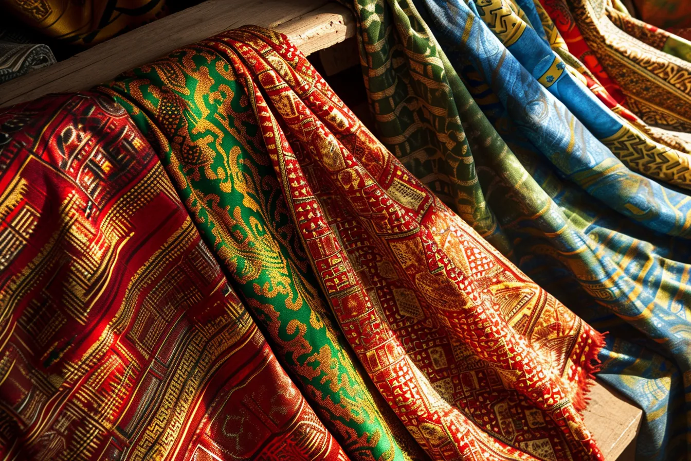
Silk gave the network its modern name because it was unusually suited to long-distance exchange. Fine textiles carried high value for relatively little bulk, could be cut, dyed, embroidered, reused, and presented at court. In several Chinese periods, bolts of silk also served in official payments and diplomatic gifts. Roman elites admired silk, but the fabric normally reached Mediterranean consumers through layers of dealers in Central Asia, Iran, and the eastern Mediterranean rather than through direct China-to-Rome commerce.
Calling everything a Silk Road exchange can blur important differences. A shipment of Chinese silk, a Buddhist text translated in an oasis kingdom, and Indian Ocean pepper moving through Red Sea ports belong to connected histories, but their dates, routes, and participants differ. The strongest accounts ask three questions every time: when did this happen, which route was open, and who physically handled the thing-or the idea-at each point along the way?
The landscapes that shaped the routes #
Geography imposed the first rules. From the old Chinese capitals, westbound travelers often used the Hexi Corridor, a relatively narrow strip between the Tibetan Plateau and the Gobi Desert. Beyond lay the Tarim Basin, ringed by mountains and dominated by the Taklamakan Desert. Caravans generally skirted its edges instead of attempting its interior, taking northern or southern chains of oases where snowmelt fed fields, wells, and towns. A route could shift when watercourses, local power, or security changed.
The northern Tarim route passed through places including Turpan and Kucha; the southern side connected settlements near Loulan, Khotan, and Yarkand. Around Kashgar, routes could turn toward the Pamirs and Bactria, move across steppe zones, or continue through the Iranian plateau toward Merv, Mesopotamia, Syria, and Mediterranean ports. These names are not a neat itinerary. They identify junctions where people could change animals, find interpreters, buy supplies, pay duties, or decide that another direction made better commercial sense.
| Corridor | Typical terrain | Useful hubs | What it connected |
|---|---|---|---|
| Hexi and Tarim edge | Dry basins and oasis chains | Dunhuang, Turpan, Kucha | China with Central Asia |
| Pamir and Bactrian crossings | High passes and valleys | Kashgar, Balkh | Tarim Basin with Central and South Asia |
| Iranian plateau and Levant | Plateaus, river valleys, cities | Merv, Ctesiphon, Antioch | Central Asia with Mediterranean markets |
| Indian Ocean sea lanes | Monsoon seas and coastal ports | Gujarat, Aden, Persian Gulf ports | East Asia, South Asia, Arabia, East Africa, and the Mediterranean |
Sea routes were not a late footnote to an otherwise overland story. Sailors learned to work with monsoon patterns, moving between South China, Southeast Asia, the Indian subcontinent, the Arabian Sea, the Persian Gulf, the Red Sea, and East Africa. Ocean travel could carry heavier cargoes than pack animals could, including ceramics, timber, metals, and bulk foods. Land and sea systems met in port cities and inland markets; a trader’s choice depended on season, capital, cargo, customs duties, and risk.
The people behind the caravan image #
Most merchants did not traverse Eurasia end to end. They specialized in familiar stretches and relied on partnerships. A producer might sell to a town broker, who sold to a caravan leader, who handed stock to another merchant beyond a frontier. This arrangement spread danger and used local expertise. It also explains why artifacts can travel astonishing distances while the people who made them, bought them, and finally used them may never have met one another.
Sogdians, an Iranian-speaking people from Central Asian city-states around Samarkand and Bukhara, became prominent commercial intermediaries from roughly the fourth through eighth centuries. Their communities appeared in towns across Central Asia and in northern China. Surviving Sogdian letters and funerary material reveal family businesses, far-flung contacts, and lives lived between languages and jurisdictions. Their importance is a useful antidote to the old picture in which only Chinese and Roman actors matter.
Caravans were working systems, not romantic processions. Bactrian camels were well suited to many cold, dry Central Asian conditions; farther west and south, dromedaries were common. Animals required fodder, water, handlers, rest, and replacement tack. Merchants needed guards in some regions, storage, trustworthy scales, packers, scribes, and reliable hosts. Contracts, loans, partnership arrangements, seals, and letters helped trade function where cash was scarce or where a deal would outlast one person’s journey.
What moved, and why it mattered #
Silk was only one part of a mixed cargo. Traders moved Chinese textiles and lacquerware; Central Asian horses; Indian spices, cottons, and gemstones; Mediterranean glassware; Iranian silverwork; aromatics such as frankincense and myrrh; dyes, furs, metalwork, and paper. Luxury goods leave especially visible traces because they were durable, prestigious, or recorded by elite writers. Everyday exchanges-food, tools, animal breeds, household cloth, and local repair skills-were just as important to the communities along the route.
Objects changed meaning as they moved. A glass vessel could be admired for its material, copied by local craftspeople, repaired, buried in a grave, or melted down. Silk might become clothing in one place, religious decoration in another, or part of a diplomatic payment elsewhere. This is why historians look closely at fibers, pigments, inscriptions, manufacturing marks, and archaeological context. Finding an object far from its source establishes contact; it does not by itself reveal the exact route or purpose.
Beliefs traveled through people rather than floating freely along a line on a map. Buddhist monks, pilgrims, donors, and translators helped establish Buddhist texts and institutions in Chinese-speaking regions, often through Central Asian communities. Manichaeism, Christianity associated with the Church of the East, and later Islam also spread through parts of these networks. Transmission was uneven: a religion could gain court patronage in one city, remain a minority practice in the next, and take on new artistic and linguistic forms in both.
Exchange brought adaptation, not a one-way flow #
The famous claim that paper-making passed westward instantly after the Battle of Talas in 751 is a good lesson in historical caution. Paper was made in China much earlier, and paper production later became important across Central and West Asia. But craft knowledge rarely travels in a single dramatic handoff. It moves through workers, materials, workshops, experimentation, and demand. Historians can identify broad connections without pretending they know every missing hand in the chain.
Art makes the same point visibly. Buddhist cave temples at sites such as Kizil and Dunhuang contain images shaped by several visual traditions, yet they were made for particular local patrons and religious settings. Motifs associated with grapevines, winged figures, floral scrolls, riders, and musicians crossed regions, then were reworked in new media. “Influence” is not passive copying. A craftsperson chooses what to retain, alter, combine, or reject according to available materials, taste, ritual, and status.
Movement also had painful consequences. Epidemics have long been linked to intensified Eurasian connections, particularly in accounts of the fourteenth-century Black Death, and research continues to refine how pathogens, animals, environments, and human travel interacted. It is too simple to blame a named “Silk Road” for an event across vast regions. The more defensible conclusion is that dense networks of trade and travel could speed some kinds of movement, including movements people did not choose.
Why the network kept changing #
States mattered because they controlled gateways, taxed goods, protected-or failed to protect-travelers, and invested in roads, garrisons, water systems, and markets. Han, Kushan, Parthian, Sasanian, and Tang realms each shaped part of the network in different periods. None controlled all of it for long. A merchant could benefit from stable administration in one valley and face a costly frontier or closed pass in the next, so commercial routes constantly branched and rejoined.
In the thirteenth and fourteenth centuries, Mongol rule over a large stretch of Eurasia created new possibilities for communication and travel across some regions. Envoys, merchants, and religious travelers used those connections, sometimes with official documents and protection. The period was not universally peaceful or uniformly open, however. Local conditions still mattered, and the same expansion that opened a route for one traveler could bring upheaval to the people living beside it.
The Silk Road did not switch off when European sea voyages gained prominence. Overland trade continued, while maritime shipping became increasingly attractive for some cargoes and destinations. Political change, shifting centers of production, fluctuating demand, and the cost of moving goods all altered the balance. The better image is not a road that rose and fell once, but a braided river: channels deepen, dry up, or reconnect as the landscape around them changes.
How to follow the Silk Road story with clear eyes #
The most revealing remains are often ordinary infrastructure: a ruined watchtower near a desert corridor, irrigation around an oasis, a coin with a ruler’s image, a contract, a bead in a burial, or a repaired pot. Famous cities such as Samarkand and Merv are important, but so are smaller settlements that fed travelers and connected rural producers to urban markets. These places are not merely backdrops for a vanished route; they are parts of living regions with layered histories and present-day communities.
When encountering a museum object, a documentary, or a map, test it against four anchors: date, place, material, and evidence. A seventh-century silk fragment from Turpan says something different from a fifteenth-century ceramic recovered in the Indian Ocean. Ask whether the claim rests on an excavation, an inscription, a contemporary account, or a later retelling. Be especially wary of maps that show solid arrows sweeping across continents; they often make uncertain, multi-stage exchanges look automatic.
A useful next step is to choose one small story and trace it slowly: the journey of a Buddhist pilgrim such as Xuanzang, the merchant letters written in Sogdian, the making of a silk textile, or the rise of a port in the Indian Ocean. Put it on a dated map and identify the people who made each handoff possible. Mastery is not memorizing a line from China to Europe. It is learning to see networks, intermediaries, detours, and evidence where the old legend offers a single road.
Take this with you
Key takeaways
- Use “Silk Road” as shorthand for a changing network, not as the name of one ancient highway.
- Read any route map with dates in mind: the viable path depended on water, season, state power, and local markets.
- Look for intermediaries such as Sogdian merchants, sailors, translators, and artisans rather than assuming direct East-West exchange.
- Judge claims about cultural transfer by the evidence behind them, especially the object’s date, place, and material.
- Start a deeper study with one traveler, artifact, oasis city, or port instead of trying to follow an imaginary single route.
Questions readers also ask
Was the Silk Road the same thing as the Steppe Route?
No. The Steppe Route is a useful term for exchange across the grasslands north of many oasis corridors. Steppe pastoralist communities connected regions through horses, diplomacy, migration, and trade, sometimes intersecting with oasis and urban routes. It is part of the larger story of Eurasian mobility, but it had different terrain, political structures, and transport advantages from the desert-edge routes usually pictured as the Silk Road.
What was a caravanserai?
A caravanserai was a roadside commercial stop, especially important in parts of West and Central Asia. Its enclosed courtyard could provide space for pack animals, storage, lodging, meals, and negotiation. Not every stopping place was a grand stone building, and their form varied by region and period. What mattered was the service: a predictable place where a moving commercial group could rest, resupply, exchange news, and protect valuable goods overnight.
Did the Great Wall run along the Silk Road?
Some Han-period frontier walls, beacon towers, and garrison sites stood near approaches to the Hexi Corridor and routes beyond it. But “the Great Wall” is not one continuous structure that simply guarded a trade road. Different walls were built and maintained in different eras for frontier administration and defense. They affected movement and taxation near particular gateways, while vast portions of Silk Road exchange occurred far beyond any wall.
Why do textiles and documents survive in parts of the Tarim Basin?
Exceptionally dry conditions in some desert-edge sites can preserve organic materials that would decay quickly in humid ground. Textiles, wood, leather, and paper documents have survived at certain sites because of that aridity, often in burials, abandoned settlements, or sealed deposits. Preservation is uneven, however. What survives is shaped by local soil, moisture, disturbance, and excavation history, so it never represents the whole population or every kind of trade.
Did Marco Polo travel on the Silk Road?
Marco Polo’s late-thirteenth-century journey from the Mediterranean world to the court of Kublai Khan used parts of the Eurasian overland network commonly grouped under the Silk Road label. His route was not a single standard track, and his account includes descriptions historians continue to assess against other evidence. He is significant, but he was one traveler in a much older and broader system that did not begin or end with European visitors.
Is the Maritime Silk Road a modern invention?
The label is modern, just as “Silk Road” is modern, but the seaborne connections it describes are ancient and medieval realities. Merchants, sailors, and pilgrims linked ports around the South China Sea, Indian Ocean, Arabian Sea, Persian Gulf, Red Sea, and East African coast. Calling them maritime Silk Road routes can be helpful when it highlights those connections, provided it does not erase the distinct maritime knowledge and port cultures that made them work.
How we made this. Every piece in the archive is researched and written by the editorial desk, then checked against our editorial standards. We do not publish medical, legal or financial advice. Spotted something we got wrong? Tell us, we correct in public.